June 2020: Monthly Rainfall Analysis, North Horr Sub-County (KENYA)
July 3rd, 2020
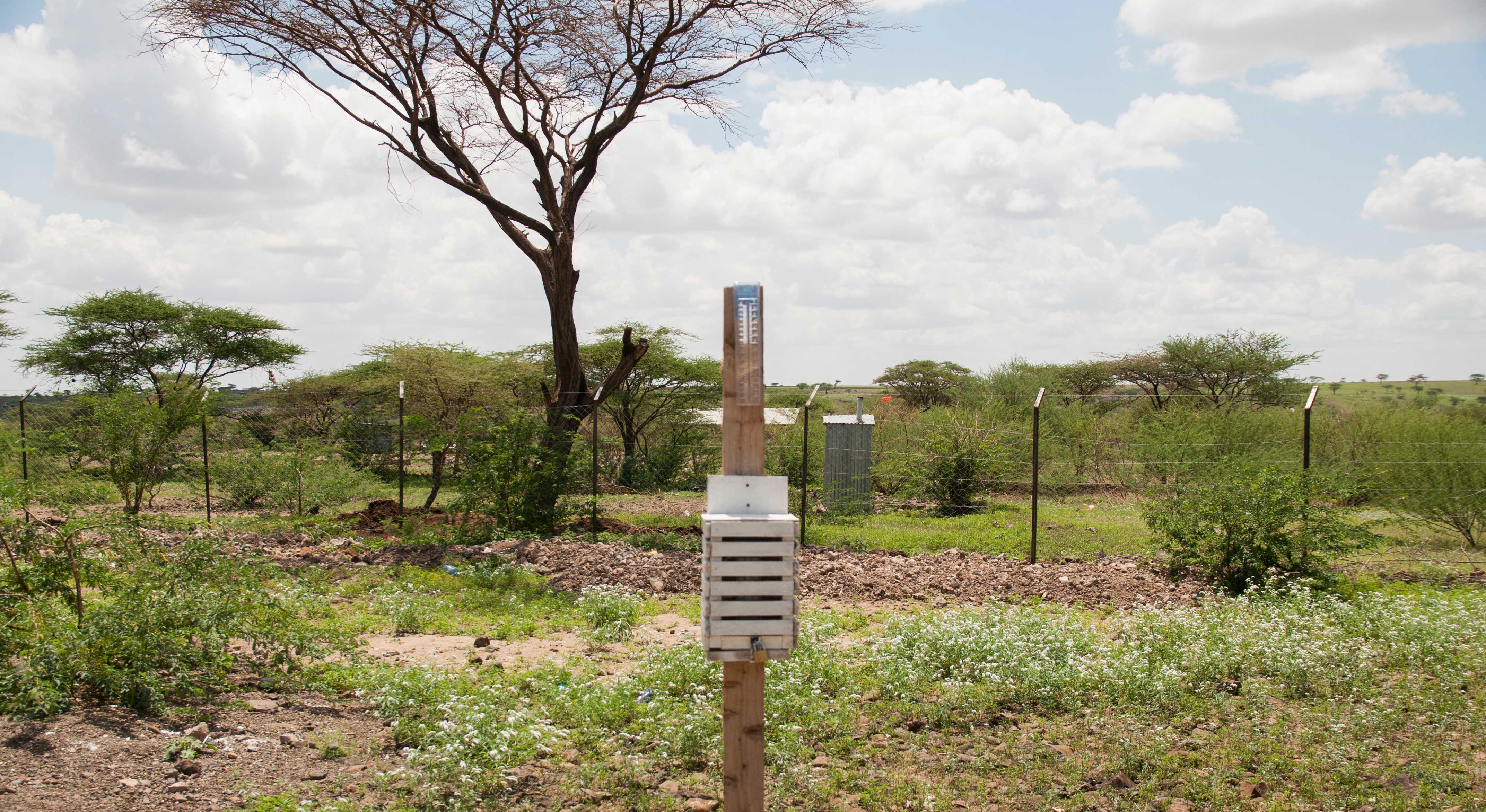
The Long Rain Season ended in May was followed by a pretty dry month over North Horr Sub-County. According with measures collected by community volunteers in June 2020, the majority of catchment areas did not receive rainfall. However, 54 mm of rain were recorded by the manual weather station installed in the Gas health facility.
NASA-GPM rainfall estimates are in-line with ground-based measures, showing 30-40mm of rainfall between Gas and Malabot. Some light rain was also detected East of Balesa and El-Hadi, towards the Hurri Hills, while more consistent rainfall was detected around Turkana Lake, especially the northern areas.
Accumulated rainfall June 2020
As shown by the Rainfall Anomaly map, the low accumulation of rainfall recorded is quite close to the climatic baseline for the area (the white areas represent values of monthly rainfall included within +-10mm from the monthly average value). On the other hand, some localised areas around Gas received above average rainfall.
Rainfall Anomaly June 2020
Manual rain gauges positioned at the level of the healthcare facilities indicated on the map, support the community in monitoring key weather parameters with accurate measurements at very local scale. However, especially during the dry seasons, it is very important to support traditional monitoring mechanisms associated with scientific data covering wider geographical areas. For example, using the satellite data visualized through the One Health interactive platform, it was possible to estimate in real time the distance of the lightnings and showers observed in the direction of Lake Turkana.
Estimation of distance of rain showers from pastoralists settlements using NASA GPM rainfall estimates and reporting from the community
This analysis is produced in the framework of the One Health project: Multidisciplinary approach to promote the health and resilience of pastoralist in North Kenya – AID11507. It is a 3-year initiative funded by the Italian Agency for Development Cooperation, aimed at improving the access and coordination of human and animal health services and of early warning and response systems to dangerous events that could put the pastoralist communities' health in North Horr Sub-County at risk. The project is led by CCM-Comitato Collaborazione Medica in partnership with VSF Germany - Veterinarians without Borders Germany, TriM - Translate into Meaning, and DIST - Interuniversity Department of Regional and Urban Studies and Planning.


